Most Americans, including many lawmakers on both sides of the aisle and the U.S. Chamber of Commerce, agree that modernizing infrastructure throughout the U.S. is long overdue and could provide a significant boost to the economy [1].Problems with infrastructure can impact businesses and consumers as was illustrated by what happened after flooding from Hurricane Harvey interrupted the flow of gasoline to downstream stations causing a temporary spike in fuel prices that affected Labor Day weekend travelers [2]. Another example of how disrupted infrastructure can cause havoc is when flood water pushed the Mississippi and Missouri Rivers out of their banks, disrupting barge traffic’s ability to get agricultural products to market [3].
Building and managing most infrastructure involves asset lifecycle processes for designing, building, operating, and optimizing the infrastructure. When the funds and projects get approved and work begins, accurate location intelligence is a critical component in these asset lifecycle processes and projects.

Examples of using location intelligence in asset lifecycle processes can be seen at utility, telecom, and energy companies. These companies invest billions of dollars in the infrastructure that underpins their businesses and the location of this infrastructure is fundamental to their operations. Massive private capital investment continues due to aging infrastructure and new requirements. According to a 2015 survey, utility executives identified aging infrastructure and modernizing the grid as the number one challenge facing the electric industry. In response, the utility industry spent hundreds of billions on new and upgraded infrastructure. In fact, investor-owned utility companies spent more than $100 billion in 2014 followed by spending levels above $90 billion annually for several more years [5]. For these companies, properly building and managing infrastructure is important for many reasons including (1) cost containment and improved efficiencies, (2) support of current and future service demands, (3) safety and compliance, (4) improved network resilience, and (5) to protect from or mitigate natural hazard risks. Maximizing the use of accurate location intelligence when building and managing infrastructure has become a best practice that can provide significant savings, better results, and competitive advantages over the duration of asset lifecycles; a best practice that has been decades in the making.
Initially, when companies began to understand the value of using location and maps in their businesses, infrastructure mapping techniques were primitive and base maps lacked accuracy, currency, and meaningful features. Much has changed and rapid advances are ongoing. Companies now commonly use Geographic Information Systems for infrastructure mapping and business processes (e.g., planning, engineering, asset lifecycle management, analytics and modeling, field inspections, disaster preparedness and response, etc.). Global Positioning System access, location aware hardware, high-resolution imagery, and sensor networks are now prevalent and enable almost continuous collection of massive amounts of precision data. Cloud Computing, Internet of Things, big data and data mining, Artificial Intelligence, Machine Learning, predictive analytics, and imagery feature extraction methodologies, along with the explosion of new data content, are powering digital transformation and location intelligence that contributes to unprecedented business insights.
These rapid, ongoing advances have introduced new challenges and opportunities for building and managing infrastructure. Although companies now have a growing abundance of data about their infrastructure and business landscape, accessing and using additional data content may be required to gain meaningful, actionable insights for improved decision-making across many aspects of their business. Granular location intelligence such as parcel- and structure-level data content can be especially valuable as it provides precise locations along with details about the locations (e.g. property and structure locations and attributes, hazard/peril risk scores).
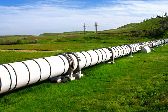
Using accurate, granular location intelligence is a growing trend that can benefit mission critical GIS applications including these examples: (1) storm response and vegetation management at electric utilities, (2) market analysis and next generation network planning at telecoms, and (3) pipeline routing and High Consequence Area compliance for pipeline operators.
Accurate location intelligence is critical for building and managing infrastructure because it can provide unique insights that are otherwise difficult or impossible to achieve. Consequently, the insights gained can save lives, property, and money, and further enable businesses to minimize disruptions, increase safety, and maximize asset Return on Investment and performance.
[1] U.S. Chamber: Fixing infrastructure could “turbo-charge” economy
[2] Hurricane Harvey Impacts Crude Oil and Gasoline: What You Need to Know
[3] Flooding wreaks havoc along Mississippi River, a transit hub for $1 billion in goods
[4] What’s the Right Path for Deploying 5G Infrastructure?
[5] Why utilities are rushing to replace and modernize the aging grid
© 2021 CoreLogic, Inc. All rights reserved.


